Glacier Gallery#

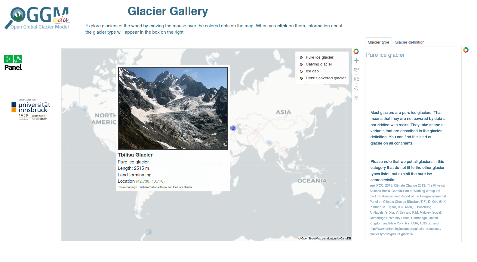
The glacier gallery is an interactive web application with which you can learn (and teach) about the diverse glaciers of the world. It introduces different glacier types with pictures and explanations. It includes example glaciers from nearly all glaciated regions of the world.
Start the english version of the app by clicking on this link:
Um die deutsche Version der App zu starten, klicke auf den folgenden Link:
How to use it#
The app contains an interactive map with marked glaciers. The markers are color-coded according to the glacier’s type. When you hover the mouse over a marker, information about that glacier and a picture of it appears. When you click on the marker, information about the relevant glacier type pops up in the infobox on the right. The box has a second tab that shows information about glaciers in general. If you want to choose a different glacier, click anywhere in the map to clear your selection, and choose a new marker.
For an idea of how to use the Glacier Gallery app in your teaching, check out OGGM-Edu Glaciology Lab 1 - What Makes a Glacier?.
Data sources#
Glacier locations and sizes come from the Randolph Glacier Inventory version 6.
See the app for links to other data sources and pictures.
Source code#
Code and data are on GitHub, BSD licensed.
The application would benefit from additional glaciers in regions that are not yet well covered. If you are interested to contribute, you can add a glacier and an image of it into this list. You can send us the edited file by email or with a GitHub pull request. Thanks!


